Why construction tech is now within reach
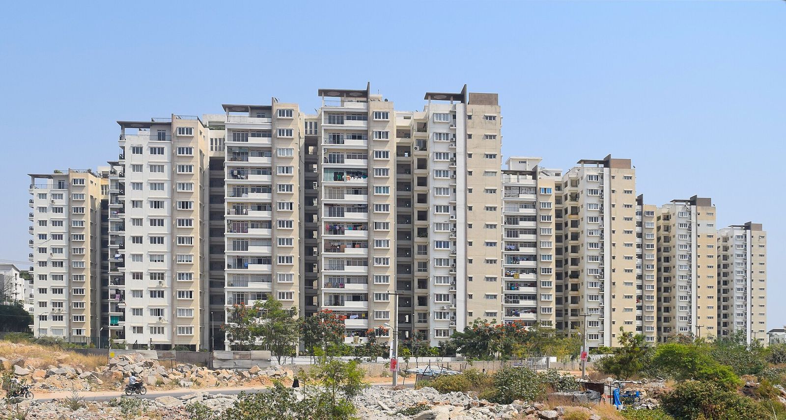
Building Information Modelling (BIM), drone surveys and cloud project management were once only for large contractors. Software prices have fallen, drones are affordable, and cloud tools need no servers. For a mid-sized builder in Raipur, the question is no longer whether these tools exist, but where to start.
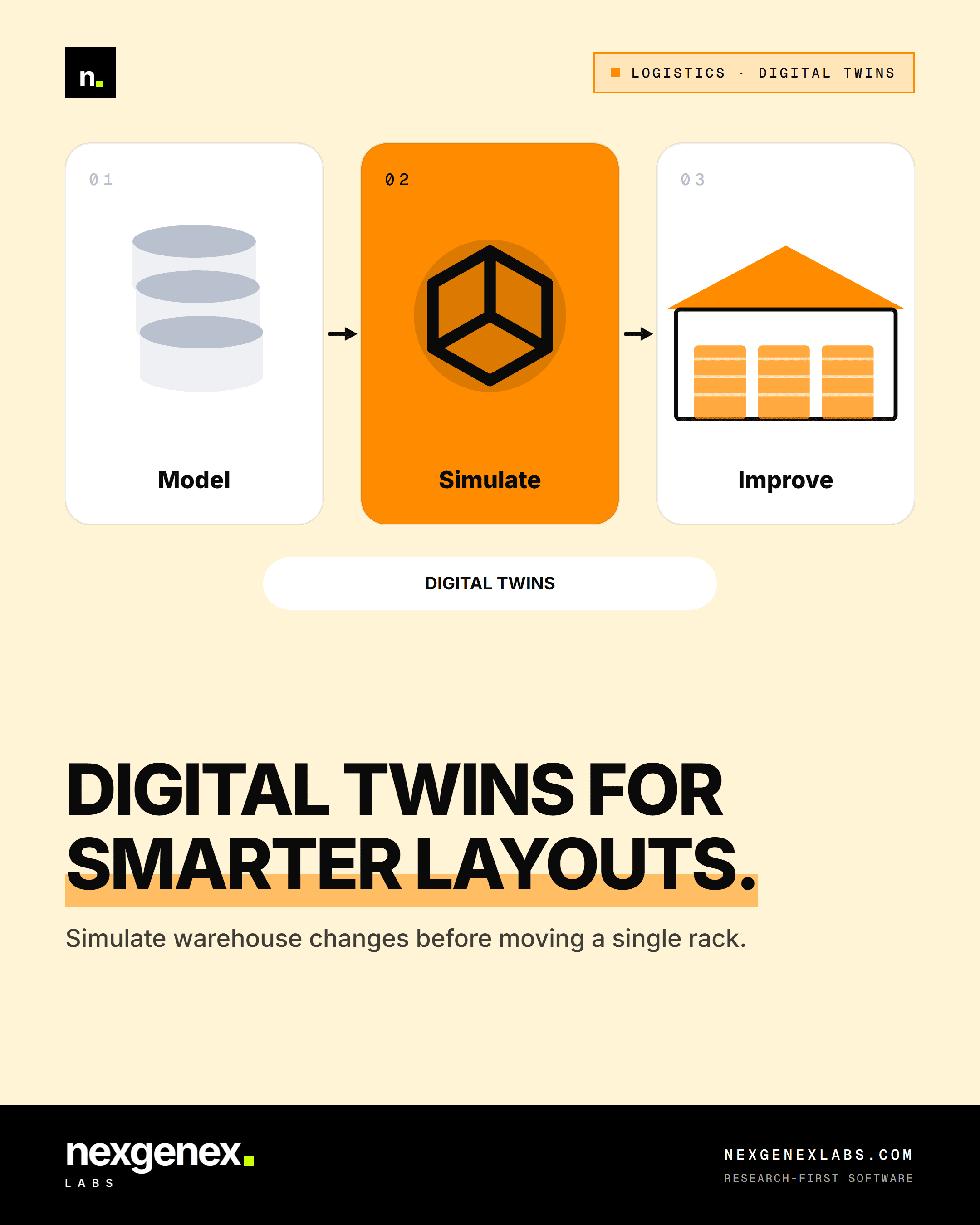
Save it. Share it with your team.
The short version of this post, ready for your Instagram Story or feed.
The maturity ladder
- 01Site app. Daily progress, photos, labour and material logs from the site engineer's phone. Replaces WhatsApp groups and paper diaries.
- 02Drone surveys. Regular aerial surveys for progress, stockpile volumes and boundary checks.
- 033D BIM model. One coordinated model of architecture, structure and services, so clashes are found on screen, not on site.
- 044D and 5D. Link the model to the schedule (4D) and cost (5D) to see planned versus actual progress and spend.
- 05Digital twin. After handover, the model plus sensor data (power, water, lifts, fire systems) supports facility management.
Most firms get most of the value from steps 1 and 2 within a few months.
Connecting site data to sales and compliance
When the site app records a milestone with photos, the same data can trigger buyer demand letters and feed RERA progress reports. That is where construction tech and real estate sales platforms meet.
Practical notes
- Follow India's drone rules: check airspace zones on the Digital Sky platform before flying.
- Store survey data and models in the cloud with version control; local hard disks get lost.
- Train site engineers first. Tools fail when the person on site doesn't use them.
How Nexgenex Labs can help
We build site-progress apps, dashboards and integrations that connect construction data to sales and finance. Get in touch.
Sources
Have a project like this in mind?
Talk To Our Team →